The map of Vietnam: north, centre and south — three different worlds
Vietnam stretches almost 1,700 kilometres from north to south and looks like the letter S on the map. Within this narrow strip of land live three essentially different worlds — with their own climate, cuisine, character and even dialects. Here's the map of Vietnam in simple terms: how north, centre and south differ, and where Nha Trang sits on it.
The S-shaped country
Vietnam is a long, narrow country on the shore of the South China Sea. From north to south it stretches about 1,650 kilometres, while at its narrowest it is only around 50 kilometres wide. The coastline runs for more than 3,000 kilometres of beaches and bays.
In the north and south lie two large fertile deltas (the Red River and the Mekong), and mountains run all along the country's spine. The highest peak is Fansipan (3,143 metres) in the north, nicknamed the 'Roof of Indochina'.
Three Vietnams: north, centre and south
Vietnamese divide the country into three big regions: the North (Bắc Bộ), the Centre (Trung Bộ) and the South (Nam Bộ). These aren't just compass points — they are three different ways of life. The differences built up over centuries: the north leaned towards China, the south spent longer under the French, and the centre keeps the memory of Vietnam's emperors.
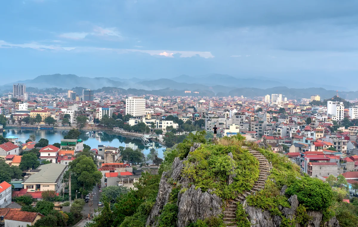
The North: Hanoi, mountains and four seasons
The North is the cradle of Vietnamese civilisation. Here are the capital Hanoi, the Red River Delta, the famous Halong Bay and mountainous Sapa with its terraced rice fields. It's the only part of the country with real four seasons — winters here are genuinely cold, and the mountains sometimes get snow.
Northerners are seen as more reserved, traditional and fond of order. Northern cuisine is mild and balanced, without too much spice or sugar, and green tea is the drink of choice.
The Centre: imperial past and the sea
Central Vietnam is the narrowest part of the country, where mountains come almost down to the sea. Here are the former imperial capital Hue, the resort city of Da Nang and the magical old town of Hoi An, plus the heritage of the ancient Cham people. In autumn, typhoons arrive here.
The Centre is famous for the spiciest food in the country and for hardworking, community-minded people. The local dialect is considered the hardest — even Vietnamese from other regions struggle to understand it.
Where Nha Trang sits on the map
Nha Trang lies on the south-central coast, in Khánh Hòa province. It's the most 'resort' part of Vietnam: a long sandy beach, warm sea almost all year round and a long dry season. It's exactly this mild climate and the islands that made Nha Trang a favourite holiday spot for Russians, Koreans and Chinese.
The South: Saigon and the Mekong Delta
The South is the warmest, richest and most dynamic region. Here is Ho Chi Minh City (formerly Saigon) — the country's largest city and its business heart — and next to it the vast Mekong Delta with its rice, fruit and floating markets. It's summer all year here: just two seasons, dry and rainy.
Southerners are seen as the most open, easy-going and entrepreneurial. Southern food is sweeter, the coffee-with-condensed-milk culture is everywhere, and you can feel the French and American influence of the last century in everything.
Three dialects of one language
Vietnam has one language, but it sounds different in the three regions. The Northern dialect (Hanoi) is considered the standard — it's what newsreaders speak and what foreigners are taught. The Central dialect is the most distinct and difficult. The Southern is soft and relaxed.
It's not only the pronunciation that differs, but the words too. A simple example: a pineapple is 'quả dứa' in the north, 'trái khóm' in the centre and 'trái thơm' in the south. Yet everyone writes it the same way.
Climate: from snow in the mountains to endless summer
Because the country is so long, its weather varies hugely. When the north is cold enough for a jacket in winter, the south is +32 and in beach season. So there's no single 'best time' to visit Vietnam — it all depends on the region. In Nha Trang the best time is the long dry season, roughly from January to August.
The character of the regions
The Vietnamese themselves joke about the differences: the north is about order, formality and tradition; the centre about hard work, thrift and strong communities; the south about optimism, flexibility and enterprise. These are generalisations, of course, but there's a grain of truth in them, and locals can easily guess where someone is from by their accent and manner.
The new 2025 map: 34 regions instead of 63
In the summer of 2025 the map of Vietnam changed noticeably: on 1 July the country carried out its biggest administrative reform in decades, merging the former 63 provinces into 34. The district level was scrapped altogether. So if you find an old map with 63 provinces — it's already out of date.
What it means for a visitor to Nha Trang
Understanding the map helps you plan a trip: want mountains and history — that's the north; imperial heritage and old towns — the centre; beaches and the tropics — the south and the coast, which is exactly where Nha Trang sits.
And if you're already in Nha Trang and want to congratulate a loved one, partner or friend — we'll deliver a fresh bouquet or helium balloons to a hotel or office the same day. Message us on WhatsApp, Telegram or KakaoTalk.